|
|
|
|
|
|
by Dangeranger
2641 days ago
|
|
|
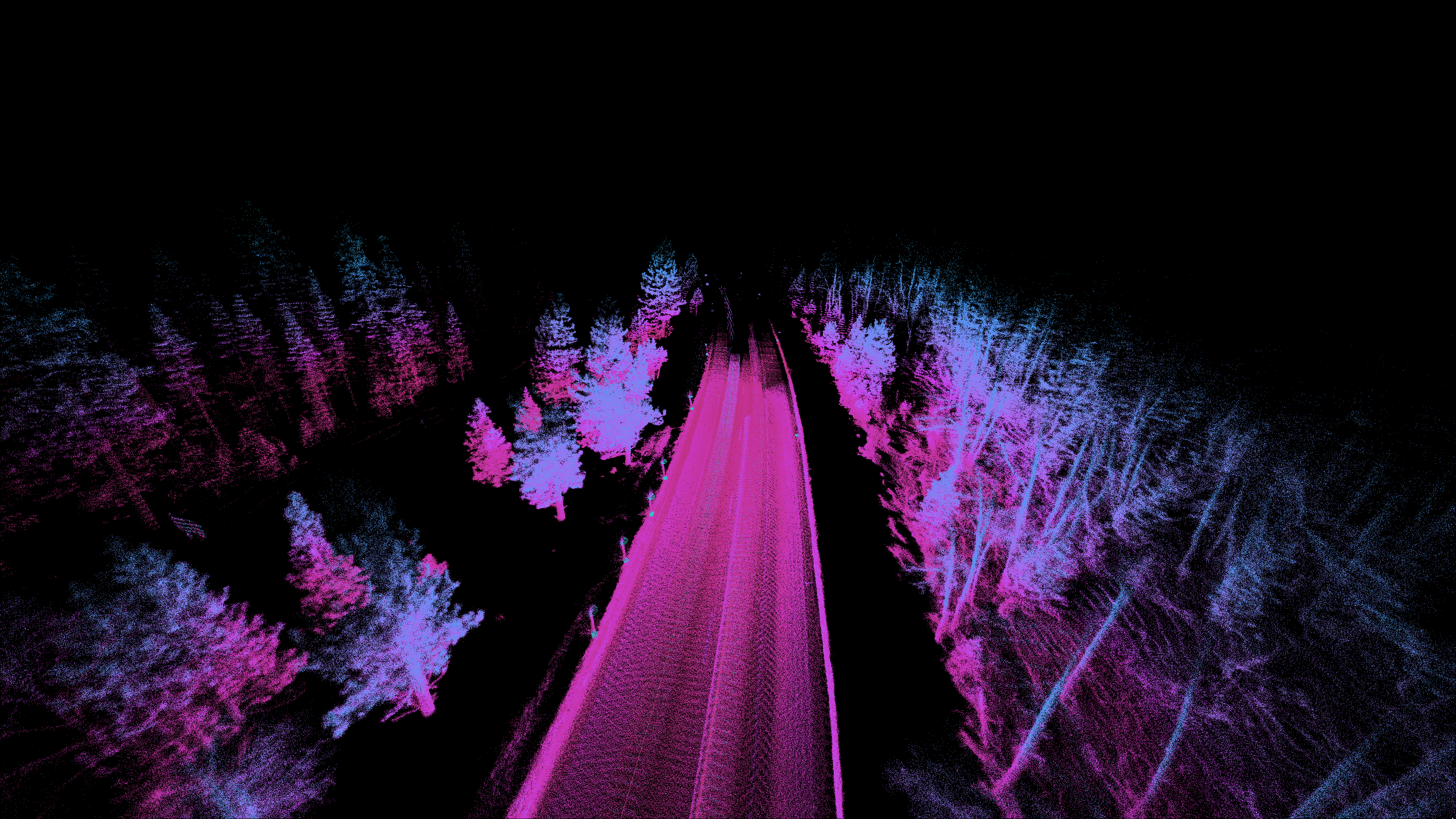
The SLAM approach will work well with a validated point cloud and a new set of points for fixed objects. However if you are mapping movable or alterable objects such as vegetation I am unsure if the algorithm will still yield highly accurate results. Another thing to consider is that if you are basing future measurements on past measurements, you need to be accurate to less than 1cm in the absolute X,Y,Z position of those points, and account for drift across your collection area. Small errors will add up to large differences in the survey set. |
|
|
You are right that the SLAM dead reckoning trajectory will drift.
We are developing a mapping back-end where we register trajectories to consumer-grade GPS data, performing loop closure, and then doing a batch ICP-like optimization over multiple drives. This mostly eliminates drift as GPS, noisy as it may be, is mostly zero-mean over large areas.
Moving objects are mostly removed or ignored.
We are primarily interested in mapping urban environments for now. The SLAM does not work very well in a featureless corn field.