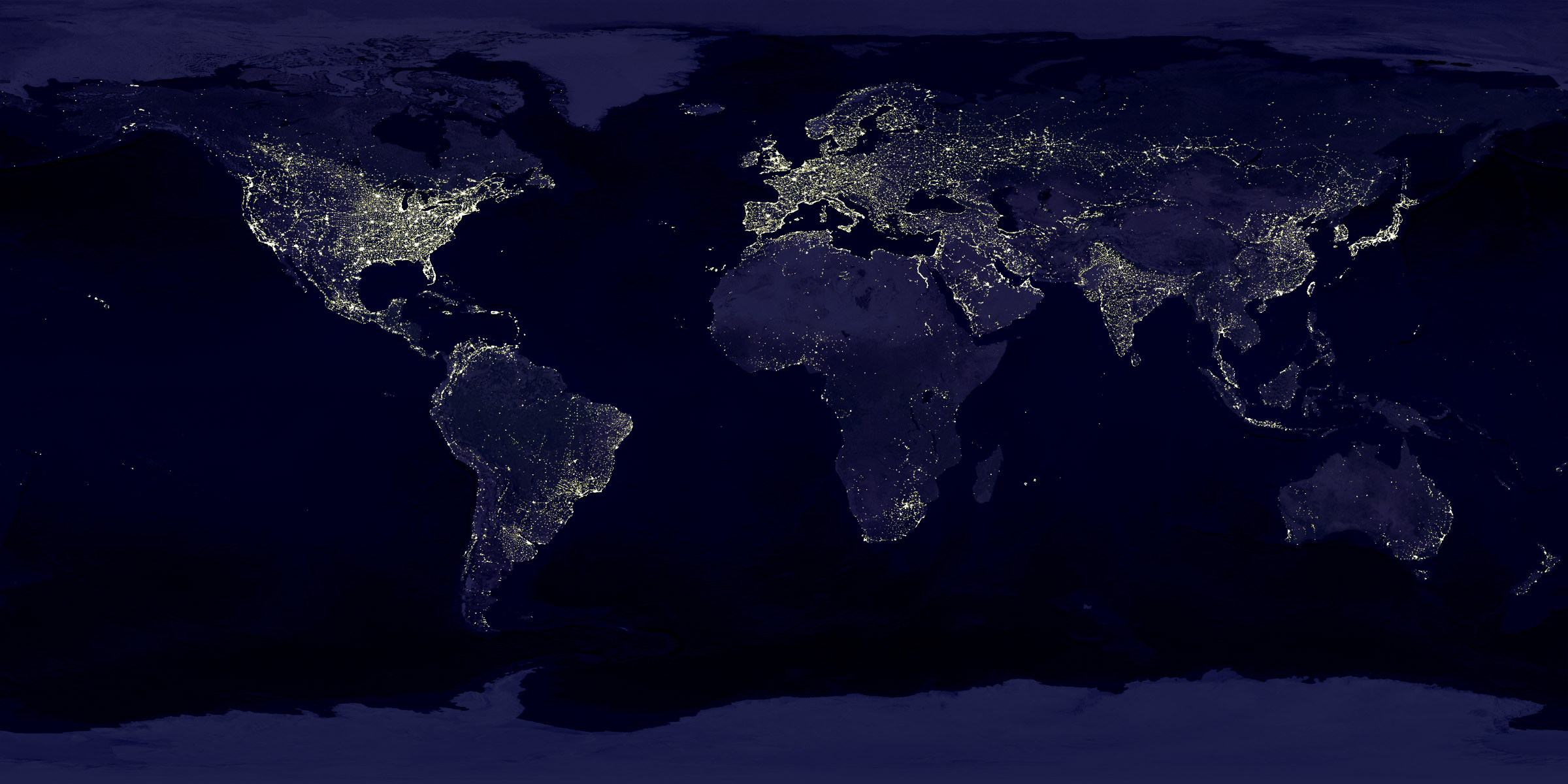
It looks like a zoom of an image from the project "Earth's City Lights":
http://visibleearth.nasa.gov/view.php?id=55167 .
In this project, they don't show a real image, but a reconstruction of multiple images to remove the clouds and other problems.
The images that are linked at the bottom of that page (for example http://eoimages.gsfc.nasa.gov/images/imagerecords/55000/5516... ) are incredible interesting. For example you can see your own country and find the big cities and the gaps where there are almost no cities.
It is similar, at least. Here is another one showing South Korea that is taken using a regular camera from the ISS that shows similar light patterns (https://plus.google.com/117789022459699674254/posts). It's hard to see North Korea because of the angle and the clouds.