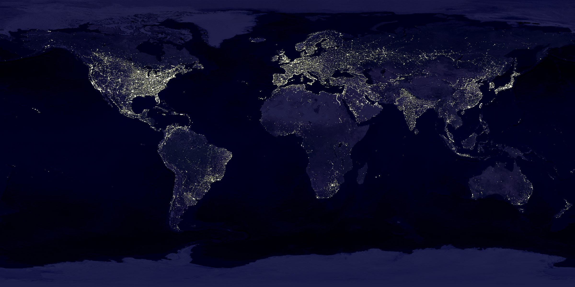
It looks like a zoom of an image from the project "Earth's City Lights":
http://visibleearth.nasa.gov/view.php?id=55167 .
In this project, they don't show a real image, but a reconstruction of multiple images to remove the clouds and other problems.
The images that are linked at the bottom of that page (for example http://eoimages.gsfc.nasa.gov/images/imagerecords/55000/5516... ) are incredible interesting. For example you can see your own country and find the big cities and the gaps where there are almost no cities.