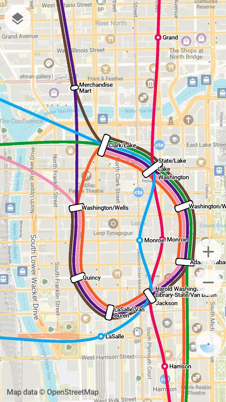
| The document doesn't say which routing engine is used. I'm currently integrating Motis on a similar initiative (a french open source Web map, https://cartes.app). More is needed to provide a full transit map experience, but Motis does the essential part. We're not far from transit calculation as an open source commodity in countries that publish their transit data as GTFS. E.g. in France there is a whole team called transport.data.gouv.fr that deploys a website + API and do the necessary to convince and help local transport agencies to respect the law. Ingesting this whole dataset is not trivial, lots of bugs arise (e.g. Flixbus's agency id : 0 or conflicting calendar_dates.txt ids between different datasets) but a barebone version goes live in 4 seconds (per big agency) of parsing by Motis's Nigiri module. The developer of Motis is quite involved, and came to Organic Maps's discussion here https://github.com/organicmaps/organicmaps/issues/5331#issue... Then comes the hardest part IMHO : the UI. Motis provides intermodal routing with the choice of walk / reduced mobility / bicycle / car / car + parking before and after the bus, and all this needs to be integrated in a UI that can rival Google / Apple Maps / Transitapp.com / etc Organic Maps have very beautiful transit lines representation in the style of Transit app's great work. https://blog.transitapp.com/how-we-built-the-worlds-pretties... Would be cool if some demo of the extended transit lines could be provided by Organic Maps following this readme file. |
The referred document concerns the existing static part, it's a rather cumbersome to build it yourself at the moment. There is some routing logic in the app - I think from the Maps.me time - but currently disabled. The idea is to redesign this - in the mentioned ticket - and divide it in static (e.g. stops, routes) and 'live' data (e.g. schedule changes). It requires an efficient infrastructure. It's all volunteer driven. If you want to help, feel free to contribute!