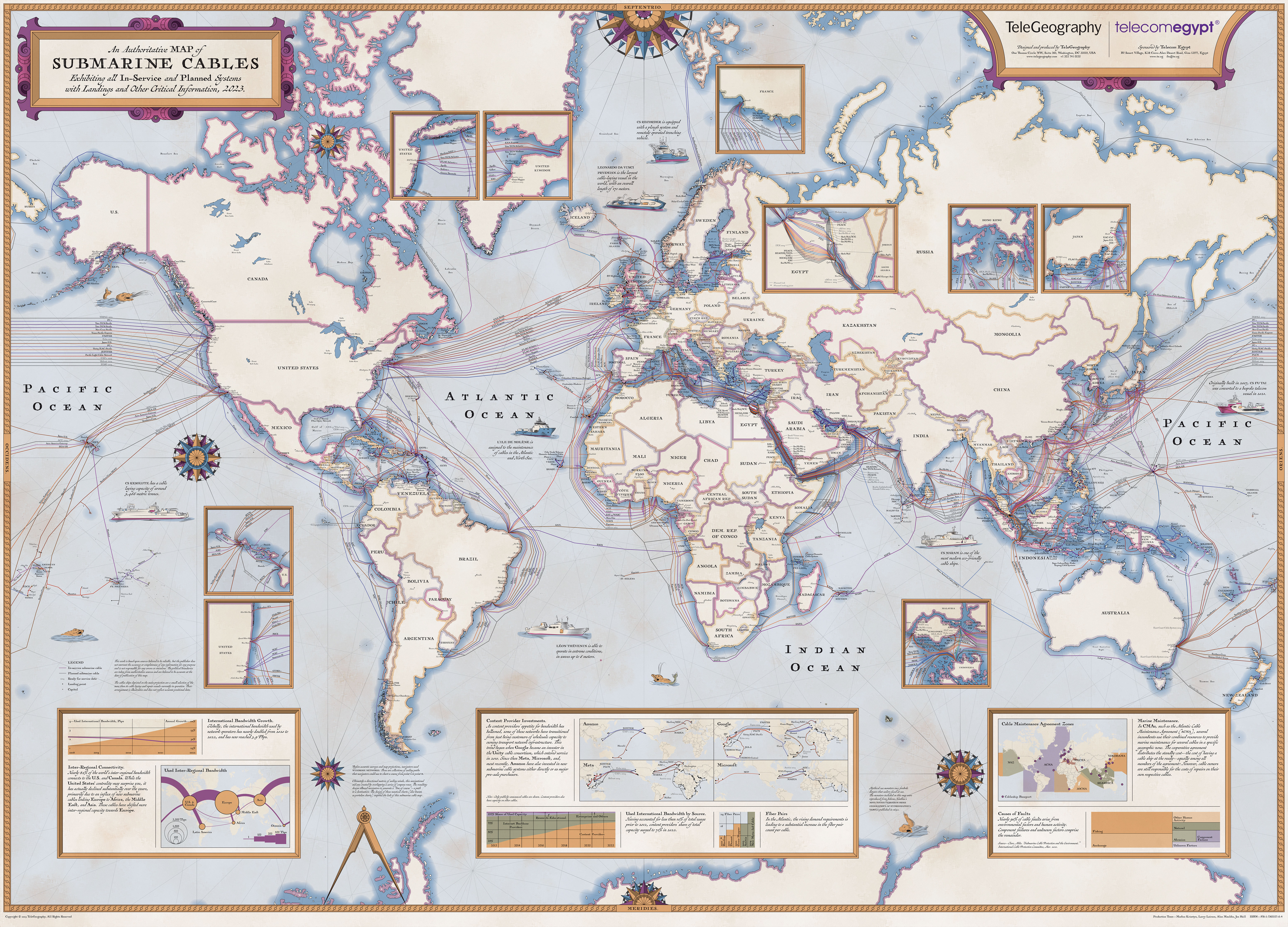
I love these maps, and I'm glad they provide downloads like [1]. I wish the resolution was a bit higher. As it is the names of the towns on the coasts can be read with difficulty.
1. Neither is Israel, despite how your news source is trying to manipulate you.
2. Those nations that do occupy lands illegally and commit war crimes are in fact listed, so that disproves any connection to your supposed reason and the real reason for eliminating the name of the state of Israel.
> 2. Those nations that do occupy lands illegally and commit war crimes are in fact listed, so that disproves any connection to your supposed reason and the real reason for eliminating the name of the state of Israel.
This sounds eerily similar to people trying to justify the apartheid in south Africa, oh our allies don't say it's bad so it's fine!
The end of the Israeli occupational doesn't mean the deportation of Jews, Jews lived in Palestine in Peace with Muslims and christians for a long time, it's a holy land for all three religions.
That would have been an acceptable explanation in the 1950s or early 60s. But after 1964 one of the sides adopted the regional name as a national identifier, thus invalidating it as a neutral name.
Too bad it's a rather shitty JPEG that's blotchy in the more uniform "white" areas. I've been able to compile a map from the png tiles for the earlier versions of this map.