That's OSM Carto[1] on the bottom, the default renderer/style on osm.org, but there are many alternative ones too. For example, Maptiler[2] has a bunch of cleaner styles, closer to Google's, yet with greater detail. Here is a basic one used my OSMApp[3] for that place as well: https://i.ibb.co/7dD05Ldp/Captura-de-ecr-20260706-092411.png
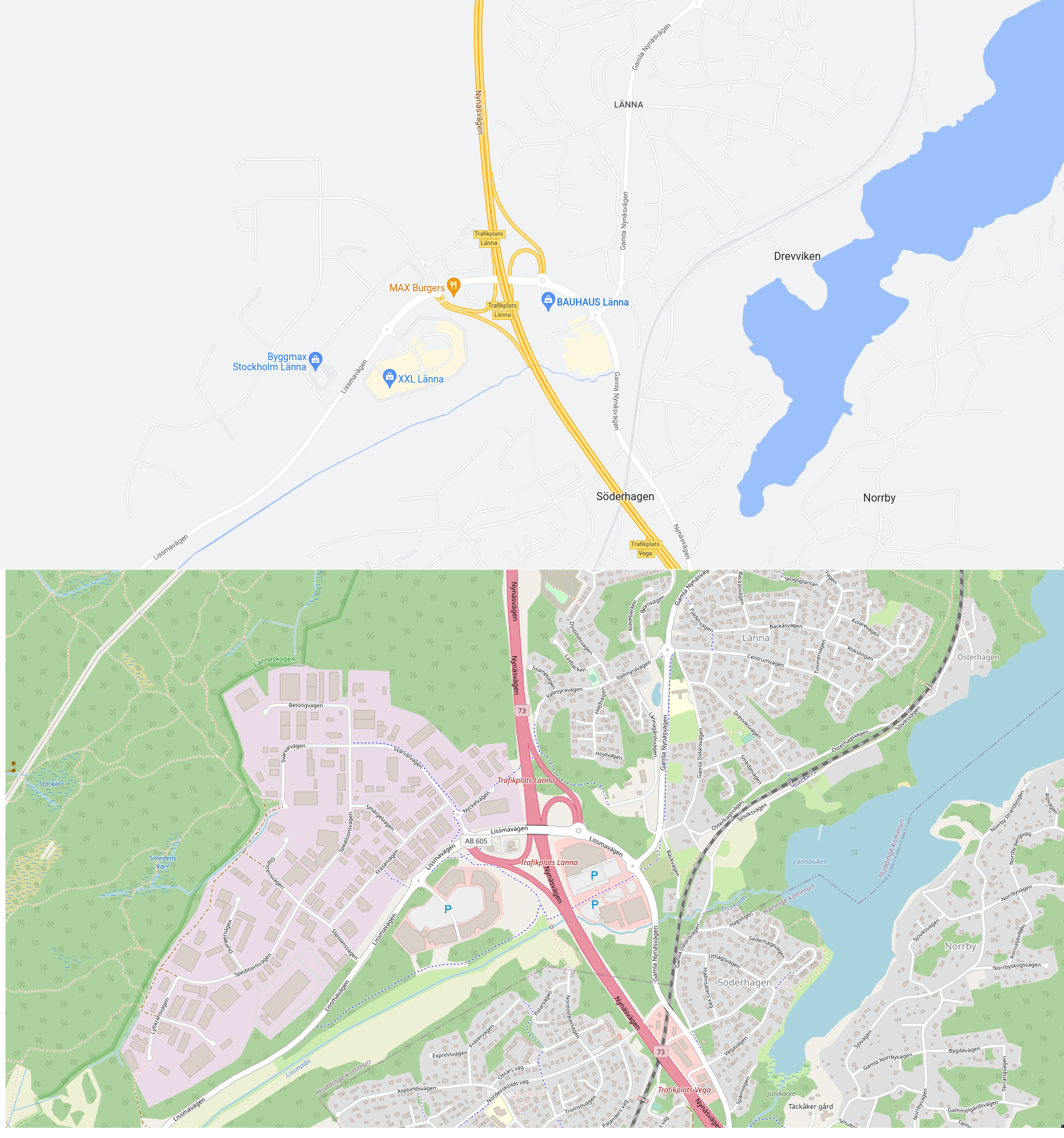

OSM in my experience is better at features (roads, hiking trails, and stuff like that), i.e. what's shown in that comparison screenshot.
Google Maps is better at place-metadata, such as opening hours; as well as user-contributed content like reviews and photos.
So I end up using both, depending on usecase.