|
|
|
|
|
|
by pmachinery
2088 days ago
|
|
|
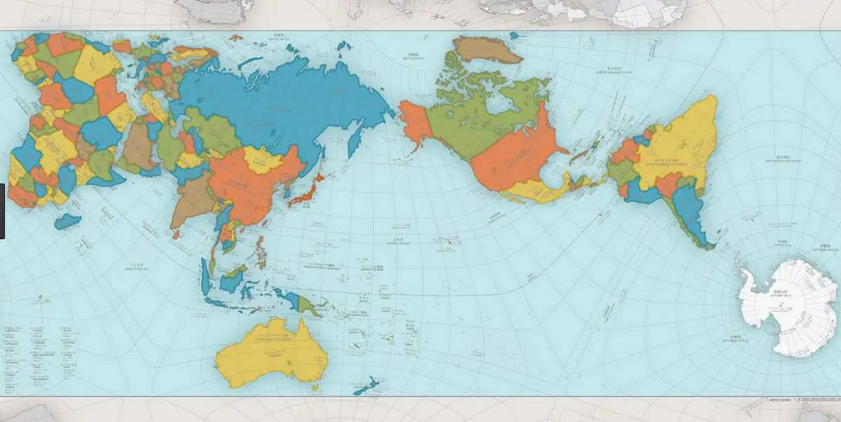
Yes, that is how it 'works', splitting up Russia/Asia. I was downvoted simply for suggesting another poster who hadn't seen it before, and was it really a thing, do a search so they could see different examples it. Other people here are downvoted simply for giving their (American) experience, that maps showed the US at the centre. Is it supposed to be a secret or something? |
|
|
It's probably something decided by state education boards, so whichever map your state decided was all you saw for twelve years. Leading you to think the entire US had the same.